Weather Summary for 27 Jun 2001
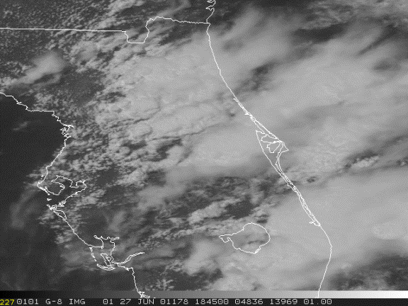
A weak tropical wave aligned from Daytona Beach to Key West was moving westward through the Florida peninsula.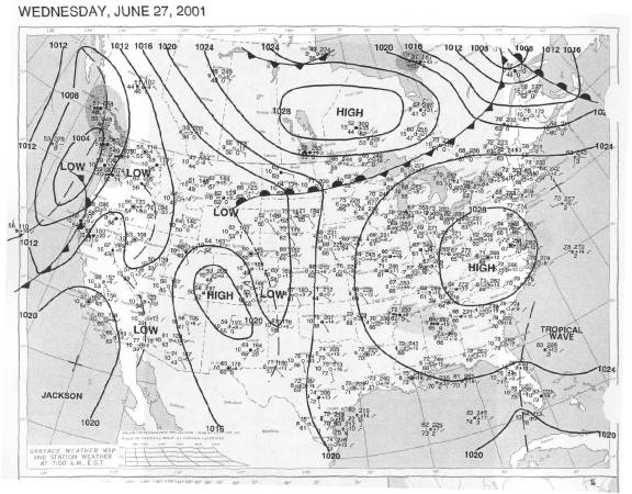
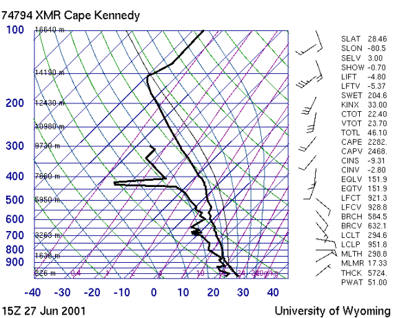
The sounding shows moist unstable air with weak southeasterly winds in the low levels rotating clockwise to southwest and strengthening aloft.
Storms formed at 15Z along a line from west of Vero Beach northeast into the Atlantic. These storms grew in intensity and moved northward. By 1630Z the storms were active across all of the Space Coast. A second line of storms formed near Vero at 1630 and also moved north. Anvils blew off to the northeast with the upper level flow.