Weather Summary for 25 Jun 2001
A weak trough over Central Florida is the remnant of the cold front that produced severe weather the previous day.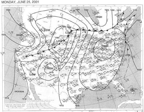
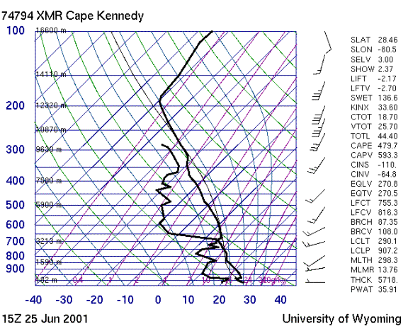
The sounding is much drier and lass unstable than the day before. Wind speeds increase with altitude although the direction remains generally out of the southwestern quadrant.
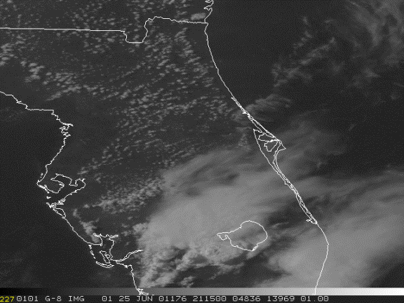
By 1630Z the east coast sea breeze (ECSB) was active over Cape Canaveral and to the south. Storms expanded rapidly westward and collided with the WCSB. The convection mushroomed at 1930Z to cover all of central and south Florida. Anvils blew off to the northeast consistent with the speed shear in the upper winds.