Weather Summary for 24 Jun 2001
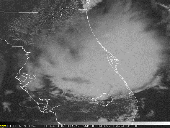
A cold front extends from just north of Daytona Beach to Tampa. The presence of this unseasonal synoptic forcing coupled with normal summertime moisture and solar heating produced extensive and severe convection over central Florida. A more detailed presentation of the weather is found with the ABFM analysis for this day elsewhere on this website.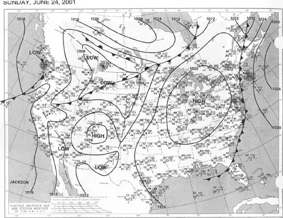
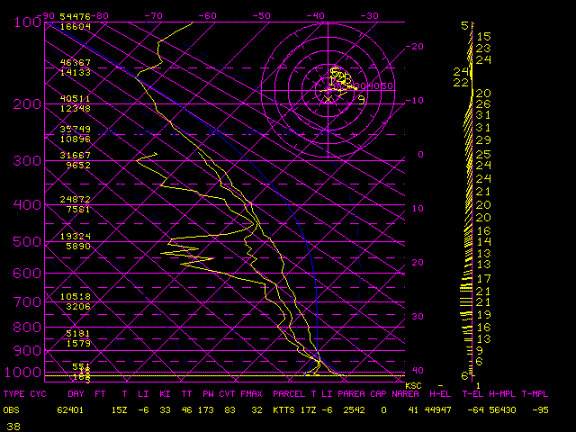
The sounding shows a moist unstable air mass at low levels with dry air at the mid level, typical of conditions conducive to microbursts, downbursts and tornadic activity.
Storms started at 1630Z and covered Central Florida by 18Z. A massive convective region moved east to east-southeast across Cape Canaveral and out to sea, producing widespread severe weather including microbursts. A tornado was observed at Kennedy Space Center.