Weather Summary for 22 May 2001
Weak high pressure covered central Florida in advance of an approaching cold front.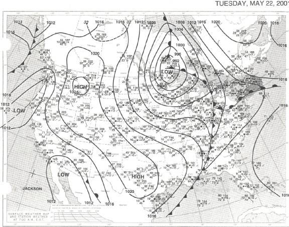
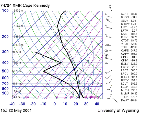
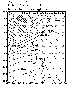
The sounding shows a relatively dry, stable, air mass with anvil level flow from the west-northwest. The 200 mb chart shows these upper winds to be associated with a ridge axis running northeast from the Gulf of Mexico over Florida into the Atlantic.
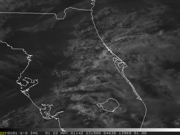
Satellite views of cloud coverage suggest that a weak upper level impulse moved through during the day. The east coast sea breeze (ECSB) was inactive in central Florida. West coast sea breeze storms developed inland around 19:30Z. Storms developed on the ECSB south of Lake Okeechobee around 1830Z moving north and reaching Cape Canaveral by 22Z while interacting with the WCSB. Anvils advected to the southeast consistent with the anvil level flow.