Weather Summary for 28 Jun 2000
Weak high-pressure again dominated Florida with the ridge axis from Jacksonville to Louisiana. Synoptic forcing at the surface was negligible. Low level winds were from the south.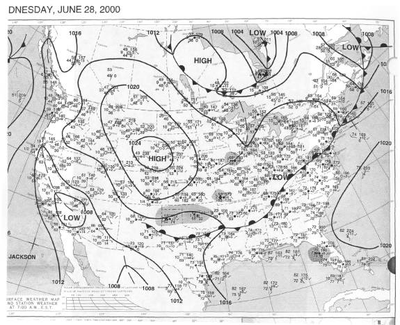
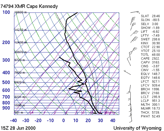
The sounding shows a moist unstable air mass. The wind profile has little shear below 500 mb with a major wind shift between 500 and 300 mb. Above 300 mb the winds are strong northeasterly.
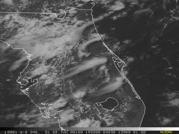
Storms began along the east coast sea breeze 15Z with the first storm building over Cape Canaveral shortly after 16Z, then moving down to Patrick AFB and dissipating. Well defined anvils streamed away toward the southwest from the taller convection.