Weather Summary for 25 Jun 2000
Weak high-pressure dominated Florida with the ridge axis located over the center of the state. The surface pressure gradient was negligible as a forcing mechanism.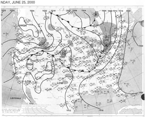
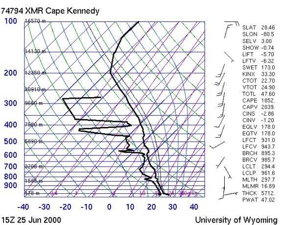
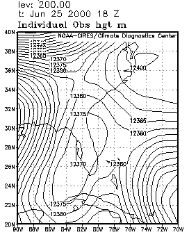
The sounding was bit drier than the day before, but potentially still unstable. The flow from 700 to 200 mb was from the south southwest at less than 20 knots. Although the 200 mb trough was farther from the area than it was the day before, it still produced a major wind shift above 150 mb.
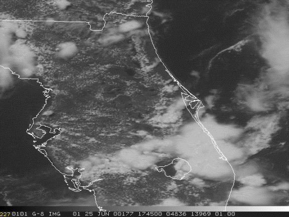
Storms developed along the east coast sea breeze (ECSB), mostly south of Cape Canaveral, and along the WCSB south of Naples. At 1630Z storms built over Melbourne and mushroomed southward. By 1930Z the entire peninsula was covered from Orlando to Miami.