Weather Summary for 17 Jun 2000
This day was characterized by high pressure over the Southeastern U.S. with the ridge axis across Georgia and Alabama.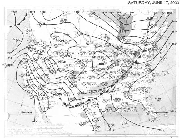
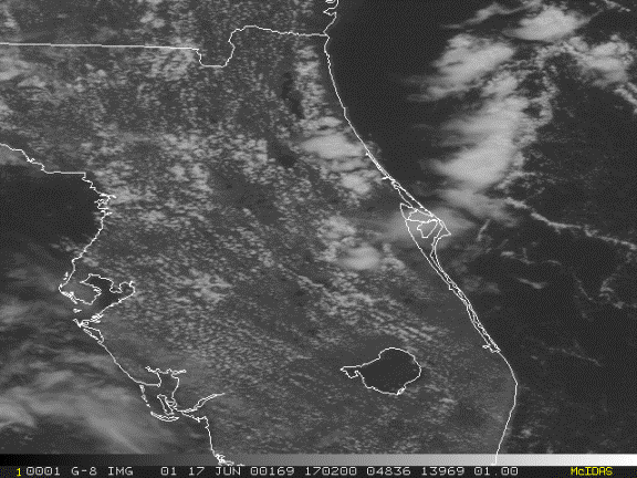
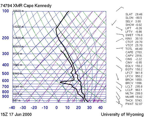
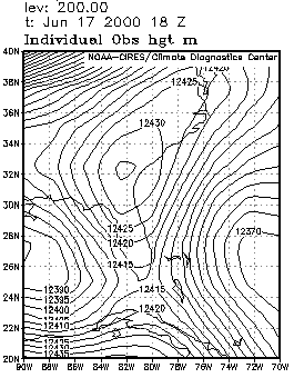
The sounding shows light southeasterly winds below 400 mb becoming light east to northeasterly above under the influence of the 200 mb high to the north. The atmosphere over central Florida was very moist and unstable with a dry layer intrusion at 14000 ft. contributing to significant wet microburst potential.
Convective activity began early in the day offshore to the east along the ridge axis but those storms rapidly dissipated. As the east coast seabreeze moved inland, it initiated convection south of Orlando starting at 1630Z.