Weather Summary for 14 Jun 2000
The surface high pressure ridge that has dominated the southeastern US for several days moved slightly south approaching central Florida.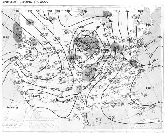
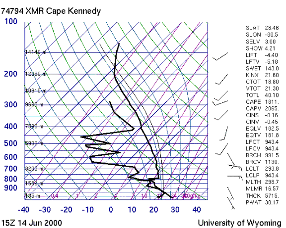
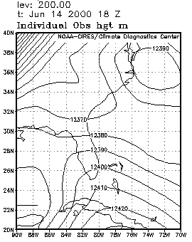
The drying trend of the past two days continued, especially above 8000 feet. The sounding shows low level SSE flow with an inversion near 7000ft. The gradient at 200 mb generated light southwesterly winds at anvil level.
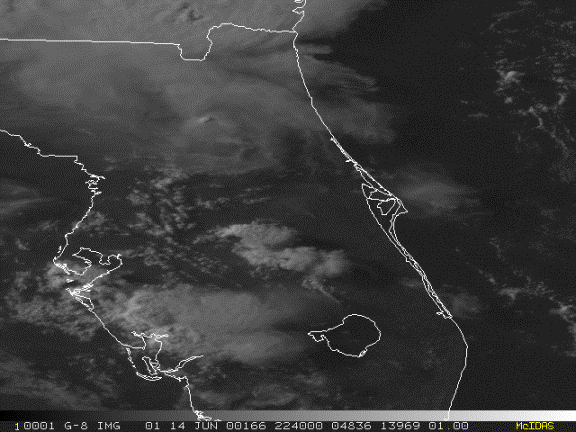
Storms formed along the east coast sea breeze at about 1930 Z after it had moved well inland west of Cape Canaveral. These storms produced some anvils blowing back toward the coast with only one isolated storm near KSC.