Weather Summary for 13 Jun 2000
High pressure continued dominating the southeastern U.S. with very weak synoptic gradients over Florida.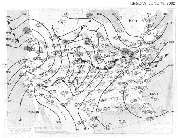
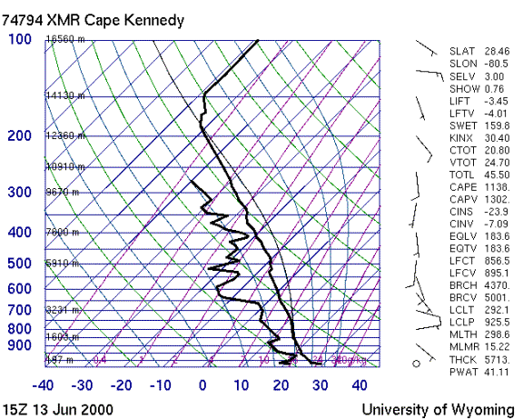
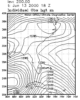
The sounding shows a continuing drying trend but moderate instability with some potential for wet microbursts where storms form. The gradients aloft are also weak over Florida as shown in the 200 mb chart, resulting in very light winds at anvil level.
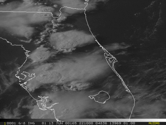
The first significant convective activity occurred around 20Z along the east coast seabreeze near Orlando. Initially the storms produced very little anvil outflow. By 22Z, the line of convection had moved further west, but the anvils were blowing back over the Cape as shown in the visible satellite image.