Weather Summary for 11 Jun 2000
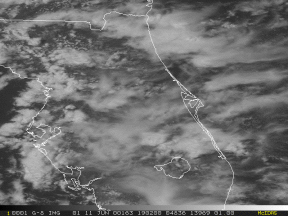
The surface chart indicates a weak surface trough associated with an easterly wave extending from an area of precipitation near Key West, Florida to the Atlantic Ocean east of Cape Canaveral.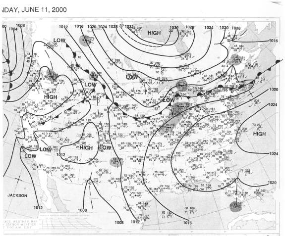
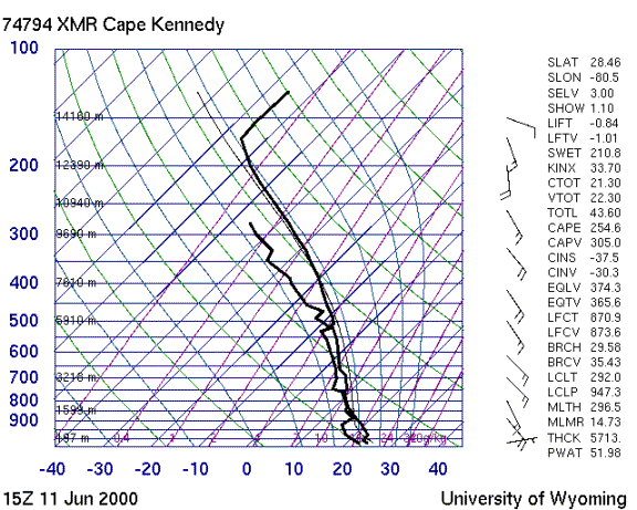
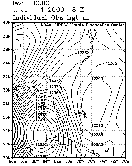
The 15Z Cape Canaveral sounding shows deep tropical moisture resulting in substantial instability over central Florida. The strong upper low near the northwest coast of Cuba seen in the 200 mb chart maintains uniform winds with little shear at anvil level.
Consistent with widespread instability and regional forcing, convective activity began early in the day and continued until dark. Storms formed randomly with little or no organization in their place of origin or their motion. Late in the day, anvils appeared to flow predominantly eastward as shown in the visible imagery.