


Weather Summary for 4 Jun 2000
Weather over the Florida peninsula was dominated by an elongated east-west ridge of high pressure south of a stationary front across the middle of Alabama and Georgia as shown in the surface chart.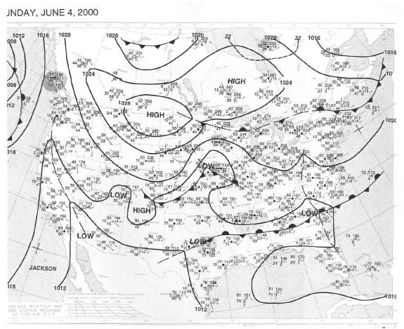
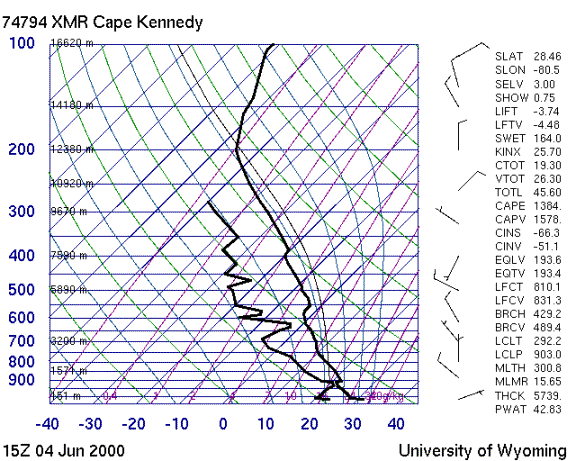
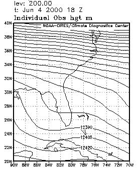
The sounding shows that winds were light throughout the troposphere with no significant shear. Weak to moderate instability characterized the airmass. There is a hint of a slight weakness aloft over west central Florida in the 200 mb heights.
Sea breezes propagated inland from both coasts with the west coast sea breeze (WCSB) dominant. Active convection began around 19Z in the middle of the state along the line of convergence between the WCSB and the ECSB. Anvil motion resulted primarily from mass conservation near the tops of active cells, with little systematic anvil streaming.
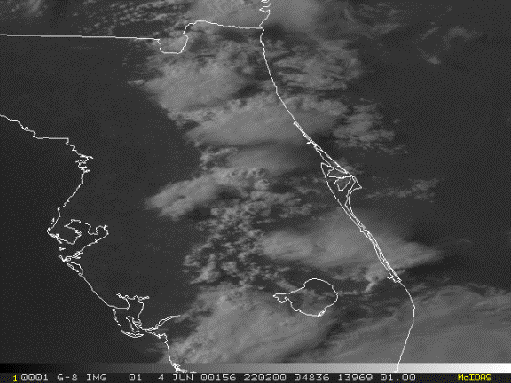
The propagation of the WCSB eastward brought the convective region within range of our operational capability.